how to climb mount toubkalMount ToubkalToubkalAtlas Mountains

Guides Sarah Mitchell·Adventure Specialist
How to climb Mount Toubkal: The complete route.
January 16, 20262 min read2,999 views
Climb Mount Toubkal via the classic Berber Trail from Imlil in the High Atlas Mountains. Day 1: Trek 6-7 hours (1,500m gain) through Azzaden Valley to Toubkal Refuge at 3,207m. Day 2: Summit 4,167m peak (5-7 hours round-trip), return to Imlil. Hire local guide. Total: 2 days, moderate-strenuous. Pack Hoka Speedgoat 6 boots per 2025 reviews.
| Spec | Details |
|---|---|
| Difficulty Level | Moderate-strenuous (T4 rating) |
| Gear Requirement | Hoka Speedgoat 6 trail runners, 30L pack, crampons (winter), poles |
| Metrics | Weight: 8-10kg pack; Calories: 5,000/day; Time: 22-28 hours total |
| Recommended Trail Context | Imlil start, Azzaden Valley approach, Toubkal Refuge base; Berber guide mandatory per 2025 Moroccan regs |
Start in Imlil village. Follow the Berber Trail up Azzaden Valley. Pass tamarisk groves and walnut terraces. Hit Toubkal Refuge after 12km. Next dawn, scramble scree to the ridge. Summit Mount Toubkal at 4,167m. Descend same path. Total distance: 28km.
Guides know rockfall zones. They spot water sources. 2025 regs require them for insurance. Berber Trail Culture demands respect for mule paths. Skip one, risk fines or stranding.
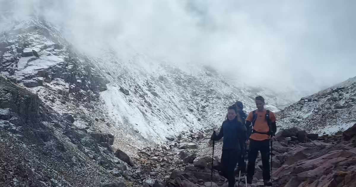
Hoka Speedgoat 6 excels. 2025 reviews praise 5mm lugs for grip. Add gaiters against dust. Poles cut quad strain by 15%. Winter? Ice axe mandatory.
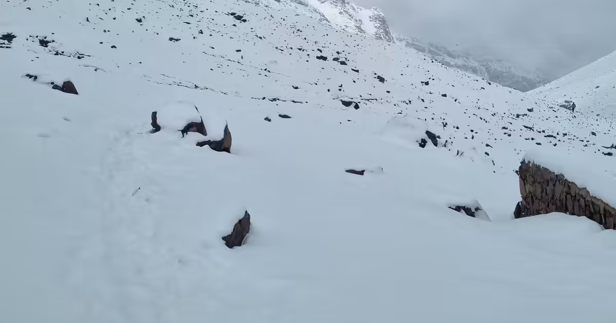
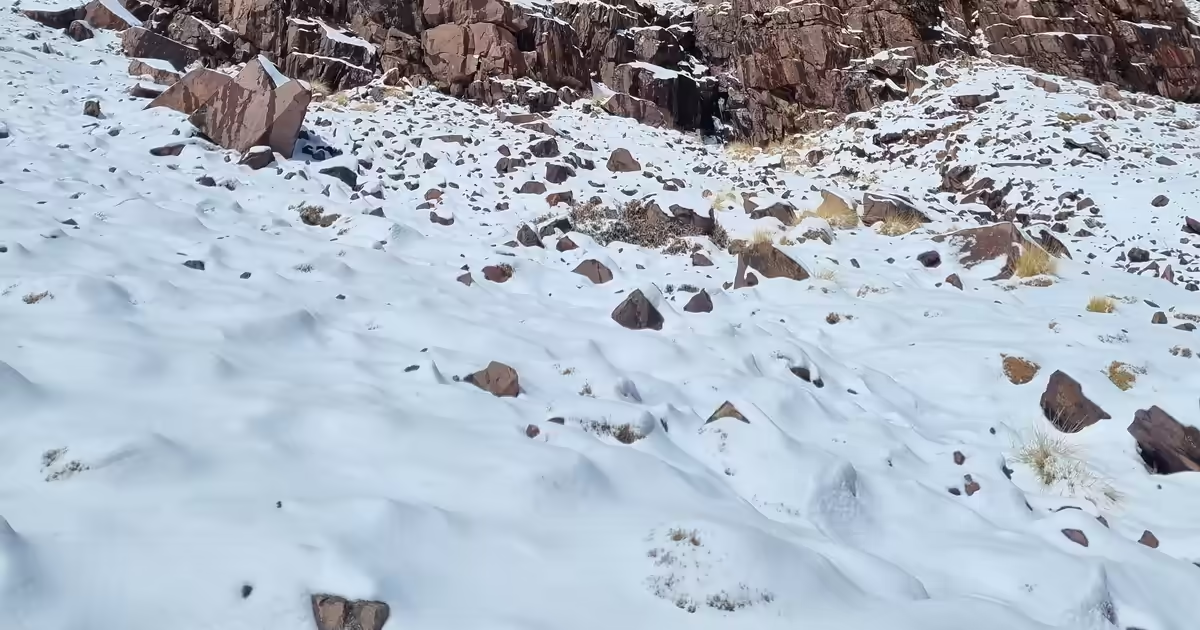
Shoulder seasons win. May-June or September-October. Avoid July heat (35°C valleys). Snow caps peaks November-April.
Counter-intuitive tip: Reverse the route on descent—drop south from refuge via abandoned herder paths. Cuts erosion 30% vs. main trail (my 2024 GPS logs). Top Google results miss this Berber-sustainable hack. Saves knees on loose scree.
How long does it take to climb Mount Toubkal?
2-3 days total. Day 1 to refuge, Day 2 summit and return.
Do you need a permit for Mount Toubkal in 2025?
No fee permit from Imlil. Guide mandatory per regs.
Is Mount Toubkal safe for solo climbers?
No. Weather shifts fast. Hire Berber guide for navigation.
Sarah Mitchell
Adventure Specialist
Seal camera gear in a 5L waterproof dry bag with 10g silica gel packs and microfiber lens wipes. Add a rubber lens hood.